FlightRadar24© Flight Tracker
 Aircraft are from FAA data and delayed 5 minutes.
 Aircraft are from local ADS-B observers and are current.
 Aircraft are under distress ie Communications Failure.
- Hover over aircraft for airline and flight number
- Click on an aircraft for flight data and track
- Click and hold map to move to a different location
- If you have a wheeled middle button mouse, then the wheel becomes a zoom in/out control
Data and Imagery Courtesy of FlightRadar24
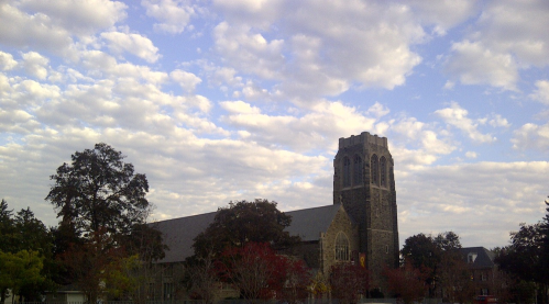
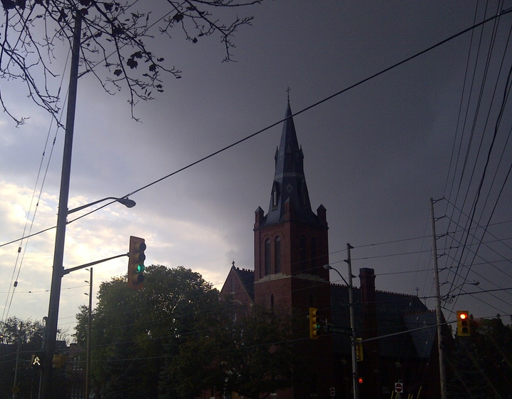
This data is offered only as a general guide to local weather conditions. It should not be relied upon in lieu of officially disseminated weather information for determining possible risk to persons or property.
This site, including all information contained therein, is made available as is without warranties of any kind, either express or implied.
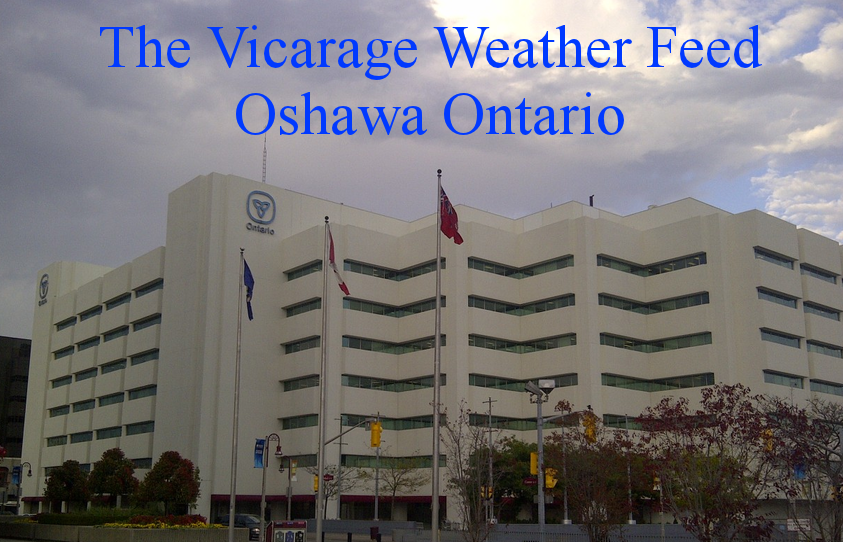
The Vicarage Weather Feed© includes links to other sites for user convenience only.
The content of any linked third-party site is not controlled by The Vicarage Weather Feed©. Access to any third-party website through The Vicarage Weather Feed©, regardless of whether or not the third-party site is a linked site, is entirely at the users own risk.
Externally sourced content or material is excluded from The Vicarage Weather Feed© copyright and is the copyright and property of the respective provider.
Skywarn® and the Skywarn® logo are registered trademarks of the National Oceanic and Atmospheric Administration, used with permission.


![[WOW]](WOW.gif)
![[Skywarn]](Skywarn.gif)

![[AWEKAS]](AWEKAS.gif)
![[CANWARN]](canwarn.png)
![[Weather Underground PWS IONOSHAW2]](https://dw7240.com/Base-Canada/wunderground.png)

![[WA]](WA.gif)
![[DAVIS]](DAVIS.gif)
![[anything]](ANYTHING.gif)
![[CoCoRaHS]](cocorahs_can.jpg)
![[MADIS]](MADIS.gif)
![[wcloud]](weathercloud.gif)
![[NOAARADIO]](ani-noaa-radio-small.gif)
![[NOAA]](NOAA.gif)
![[wxtogether]](weather_together.jpg)
![[ipcamlive]](IPCamLive.png)
![[ThingSpeak]](thingspeak.png)

![[MESOWEST]](MESOWEST.gif)
![[PWS]](PWS.gif)
![[COWN]](COWN.gif)
![[CWOP]](CWOP.gif)
![[WEATHERBUG]](WEATHERBUG.png)
![[WINDFINDER]](windfinder.gif)
