
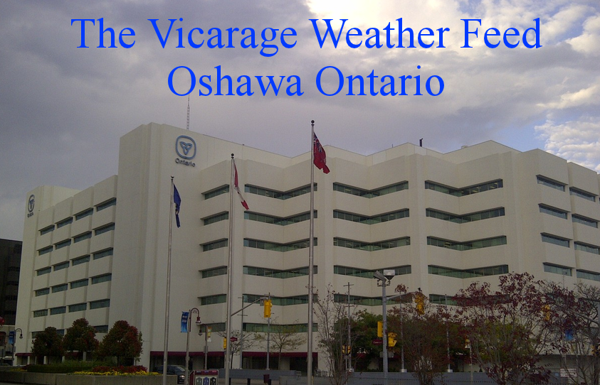


| North Facing Camera Click On Play Button To View Live Image |
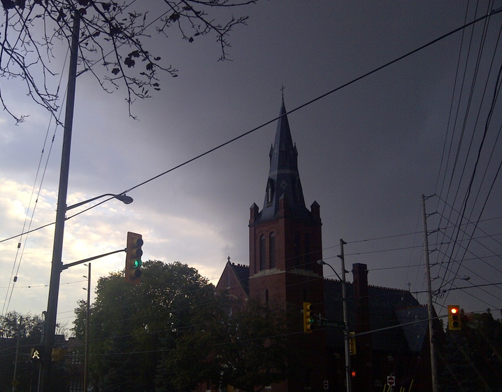
Sky Facing Camera Click On Image To View Full Screen In New Window 
|


NOAA NWS Hourly Roundups by Site
Regional Weather Roundup for Omaha, NE
To Select Another Site Choose from List
| Select Site: |
000
ASUS43 KOAX 270813
RWRNE

WEATHER ROUNDUP FOR NEBRASKA
NATIONAL WEATHER SERVICE OMAHA NE
300 AM CDT SAT APR 27 2024

NOTES: SATELLITE DATA IS BEING USED TO AUGMENT CLOUD COVER ABOVE
       12000 FEET.
       "FAIR" INDICATES FEW OR NO CLOUDS BELOW 12,000 FEET WITH NO
       SIGNIFICANT WEATHER AND/OR OBSTRUCTIONS TO VISIBILITY.


NEZ001>004-019>022-054>056-270900-
NEBRASKA PANHANDLE

CITY           SKY/WX    TMP DP  RH WIND       PRES   REMARKS
SCOTTSBLUFF    MOCLDY    47  32  56 CALM      29.76R
ALLIANCE       PTCLDY    43  42  97 NW5       29.73R
CHADRON        CLEAR     38  38 100 W5        29.75R WCI  34
GORDON         CLOUDY    46  42  86 NW15G21   29.71R
KIMBALL        CLOUDY    45  41  87 NE3       29.76F
SIDNEY         MOCLDY    47  41  80 N13       29.73F
$$

NEZ057>060-069>072-079>082-270900-
SOUTHWEST NEBRASKA

CITY           SKY/WX    TMP DP  RH WIND       PRES   REMARKS
NORTH PLATTE   PTCLDY    42  41  96 NW3       29.69R
GRANT          PTCLDY    43  43 100 NW9       29.71S
IMPERIAL       MOCLDY    48  43  82 NW10      29.71R
LEXINGTON      PTCLDY    49  48  96 NW6       29.67S
MCCOOK         MOCLDY    54  46  74 N14G28    29.64F
OGALLALA       PTCLDY    49  47  90 NW8       29.72R
$$

NEZ005>010-023>029-035>040-094-270900-
NORTH CENTRAL NEBRASKA

CITY           SKY/WX    TMP DP  RH WIND       PRES   REMARKS
VALENTINE      MOCLDY    48  44  86 NW13G24   29.65R
AINSWORTH      CLOUDY    47  45  90 NW8       29.63R
BROKEN BOW     PTCLDY    52  48  86 NW12      29.66R
O`NEILL        CLOUDY    50  46  85 NW15G24   29.60R
ORD            MOCLDY    52  47  83 W13G28    29.65R
THEDFORD       CLOUDY    49  44  81 NW7       29.68R
$$

NEZ041-046>049-061>064-073>077-083>087-270900-
SOUTH CENTRAL NEBRASKA

CITY           SKY/WX    TMP DP  RH WIND       PRES   REMARKS
GRAND ISLAND   CLEAR     53  49  86 SW10      29.65R
AURORA         CLEAR     51  49  94 W9        29.65R
HASTINGS       CLEAR     51  49  92 W7        29.66R
HEBRON         CLEAR     55  52  88 W6        29.64S
HOLDREGE       PTCLDY    51  48  89 CALM      29.65S
KEARNEY        CLEAR     51  49  92 W7        29.66R
$$

NEZ011>018-030>034-042>045-270900-
NORTHEAST NEBRASKA

CITY           SKY/WX    TMP DP  RH WIND       PRES   REMARKS
NORFOLK        MOCLDY    54  51  90 W9        29.57R
ALBION         CLEAR     51  50  96 CALM      29.61R
COLUMBUS       CLEAR     53  51  93 SW8       29.61R
FREMONT        CLEAR     56  52  85 SW7       29.59R
TEKAMAH        CLEAR     56  52  86 SW8       29.55R
WAYNE            N/A    N/A N/A N/A MISG        N/A
$$

NEZ050>053-065>068-078-088>093-270900-
SOUTHEAST NEBRASKA

CITY           SKY/WX    TMP DP  RH WIND       PRES   REMARKS
LINCOLN        CLEAR     57  51  80 W12       29.61R
OMAHA EPPLEY   CLEAR     60  53  77 W13       29.57R
BEATRICE       CLEAR     57  51  81 W7        29.62R
FALLS CITY     CLEAR     61  50  67 S10       29.63R
NEBRASKA CITY  CLEAR     57  52  81 W14       29.60R
PLATTSMOUTH    CLEAR     59  53  80 SW12      29.59R
$$

NEZ044-045-051>053-067-270900-
OMAHA AREA

CITY           SKY/WX    TMP DP  RH WIND       PRES   REMARKS
OMAHA EPPLEY   CLEAR     60  53  77 W13       29.57R
FREMONT        CLEAR     56  52  85 SW7       29.59R
MILLARD        CLEAR     58  53  83 W7        29.58R
OFFUTT AFB     CLEAR     60  53  78 W9        29.56R
PLATTSMOUTH    CLEAR     59  53  80 SW12      29.59R
WAHOO          CLEAR     56  53  90 W12       29.59R
$$
|
| View Past Reports for Omaha, NE. |
Products Courtesy of NOAA-NWS
NWS Information Parsing Script by Ken True at Saratoga Weather - Script by SE Lincoln Weather.
![[WOW]](WOW.gif)
![[Skywarn]](Skywarn.gif)

![[AWEKAS]](AWEKAS.gif)
![[CANWARN]](canwarn.png)
![[Weather Underground PWS IONOSHAW2]](https://dw7240.com/Base-Canada/wunderground.png)

![[WA]](WA.gif)
![[DAVIS]](DAVIS.gif)
![[anything]](ANYTHING.gif)
![[CoCoRaHS]](cocorahs_can.jpg)
![[MADIS]](MADIS.gif)
![[wcloud]](weathercloud.gif)
![[NOAARADIO]](ani-noaa-radio-small.gif)
![[NOAA]](NOAA.gif)
![[wxtogether]](weather_together.jpg)
![[ipcamlive]](IPCamLive.png)
![[ThingSpeak]](thingspeak.png)

![[MESOWEST]](MESOWEST.gif)
![[PWS]](PWS.gif)
![[COWN]](COWN.gif)
![[CWOP]](CWOP.gif)
![[WEATHERBUG]](WEATHERBUG.png)
![[WINDFINDER]](windfinder.gif)
